MTEC Coastal Hydraulics is a well-established arm of Al Mustafawi Trading & Engineering Co. W.L.L. offering specialized services in the field of Hydrographic Surveys. This has been achieved in partnership with Coastal Consulting and Exploration s.r.l. an Italian company, which has been carrying out hydrographic surveys all over the world including Qatar.
The strength of organization and staff, founded on the reputation for a commitment to excellence, has enabled MTEC Coastal Hydraulics to grow and become a reorganized hydrographic survey company to provide marine surveys and other oceanographic services in the State of Qatar, including Bathymetric, Geophysical, cable and pipeline route surveys to name a few.
All necessary infrastructure including the sophisticated equipment is now based in Qatar and can be easily mobilized including a dedicated survey vessel “AL BURQAN” which has been acquired by MTEC. We bring an outstanding professional approach, planning and execution skills to every project, large or small. Our professional surveyors perform to the highest standards of the profession, utilizing state-of-the-art ocean technology. We have now completed some very prestigious marine surveys in the state of Qatar.
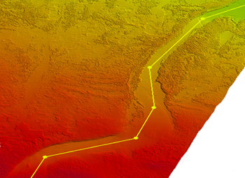
Bathymetric Survey
High-end Bathymetric Surveys using state-of-the-art equipment and the latest software for data processing creating 3D images, shaded relief images & depths with multi-beam or single-beam echo sounders.
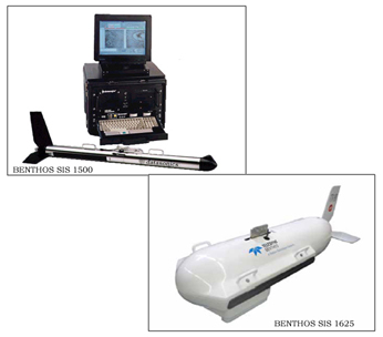
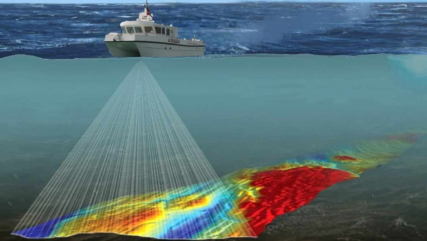
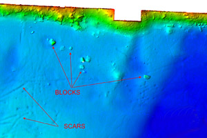
Morphological surveys
Morphological surveys are performed with side–scan sonar using the latest technologies to determine the morphological features of the sea bottom.
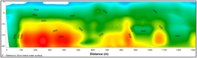
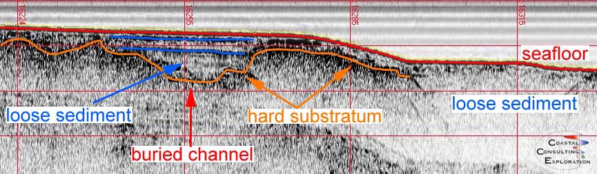
Stratigraphic Survey
Using high-end equipment a stratigraphic profile-reflection seismic profile is created to delineate the various strata of the seafloor with Sub Bottom Profiler and/or sparker
Meteomarine Studies
Various types of hydrodynamic modelling studies including current profiles, waves and tides studies, meteorological observations and a few environmental studies are undertaken – both short-term and long-term
Magneto Metric Survey
A sophisticated magneto meter survey is performed to detect buried cables & pipelines and other objects.
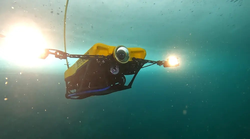
Underwater Video and Instrument Inspection
With a Submarine gravity camera and R.O.V ( Remote Operated Vehicle): Video inspection of the sea bottom both for environmental as well as status surveys are performed